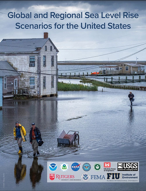
2022 Sea Level Rise Technical Report

The Sea Level Rise Technical Report provides the most up-to-date sea level rise projections available for all U.S. states and territories; decision-makers will look to it for information.

This multi-agency effort, representing the first update since 2017, offers projections out to the year 2150 and information to help communities assess potential changes in average tide heights and height-specific threshold frequencies as they strive to adapt to sea level rise.

Display Image
Scope
State
Regional
National
Content
Vulnerability Assessments
Adaptation Planning
Action Plans
Published
February, 2022
Topic
Coasts

Introduction to Lidar

Difficulty scale
Image
Type of Training
Module Description
This course, designed for those curious about what lidar is and why it is useful for management decisions, provides quick and flexible access to several topics needed to understand the lidar landscape. The course features engaging video and audio, optional knowledge checks, a final quiz with certificate, and assistive services for those with disabilities.

A Practitioner's Guide to Climate Model Scenarios

This Guide is written for practitioners already using or wanting to use future climate information in their work, but who are not familiar with the underlying assumptions and choices surrounding climate data. Here, we introduce the climate model scenarios that are used to “drive” climate models forward in time. These scenarios are a combination of socioeconomic and climate forcing pathways. We summarize differences between these scenarios for the Great Lakes region to show users how their choice of model scenario affects future temperature and precipitation projections.

Display Image
Screen capture of Report cover
Scope
Local
State
Regional
National
Content
Vulnerability Assessments
Adaptation Planning
Action Plans
Published
March, 2021
State
Illinois
Indiana
Michigan
Minnesota
New York
Ohio
Pennsylvania
Wisconsin
Topic
Coasts
Water
Built Environment
Region

Climate Change Vulnerability Assessment and Adaptation Plan: Health Impact Assessment | South Central Minnesota

This Health Impact Assessment was done in conjunction with the development of an adaptation plan, with the goal of ensuring that the strategies developed would be health-focused before implementation. By conducting the HIA during the Climate Change Adaptation Plan’s development, greater efficiencies were created in terms of addressing strategy-specific, health-related issues that could be avoided at the start, rather than discovering them after the strategies had already been implemented. This report is the culmination of the HIA process and summarizes each step of the assessment, including the HIA Project Team and Advisory Committee’s recommendations for improving the Climate Change Adaptation Plan. The adoption of these recommendations will increase the value relevance of the adaptation plan and benefit the health of the region.

Display Image
Record Cover
Scope
Regional
Content
Vulnerability Assessments
Adaptation Planning
Published
August, 2016
State
Minnesota
Topic
Health

Climate Change Vulnerability Assessment and Adaptation Plan | South Central Minnesota

With support from the Minnesota Pollution Control Agency, the Region Nine Development Commission created this plan to assess South Central Minnesota’s vulnerability to climate change and create strategies for the region to adapt to climate change. Region Nine, working in tandem with a Climate Change Adaptation Task Force, identified eight top priority sectors to prioritize the planning process: agriculture, water, human health, energy, transportation, forests, ecosystems, business, and economy. The result of the planning process was real, actionable strategies that can be used as a guide to initiate discussions and begin a planning process in Region Nine communities.

Display Image
Report Cover
Scope
Regional
Content
Vulnerability Assessments
Adaptation Planning
Published
June, 2017
State
Minnesota
Topic
Ecosystems
Food
Health
Water
Transportation
Energy
Built Environment

State Hazard Mitigation Plan and Recommended Actions for Climate Change Adaptation | State of Minnesota

This plan represents the efforts of the State of Minnesota in fulfilling the responsibility for hazard mitigation planning. The purpose of this plan is to identify the state’s major hazards, assess the vulnerability to those hazards, and take steps to reduce vulnerability using the technical and program resources of Minnesota agencies. The process has included consideration of current and expected future impacts from Minnesota’s already changing climate, as relevant to hazard mitigation planning. The plan identifies goals and recommends actions and initiatives for the state government to adapt to, reduce, and/or prevent injury and damage from hazardous events.

Display Image
Report Cover
Scope
State
Content
Vulnerability Assessments
Climate Impacts
Adaptation Planning
Disaster Recovery
Published
March, 2019
State
Minnesota
Topic
Ecosystems
Food
Health
Transportation
Built Environment

Flooding Hazards: Science and Preparedness

Module time (hr:min)
8:00
Difficulty scale
Image
Coastal flooding at the Outer Banks of North Carolina
Type of Training
Module Description
This awareness-level, eight-hour course addresses the current science of the causes of floods (both meteorological and otherwise), flood forecasting, flood risk assessment, and best practices for preparation and mitigation for both short- and long-fuse flooding events. Key concepts and discussion topics are reinforced with facilitator-led group activities that utilize real-world flood scenarios that illustrate the diverse challenges and complexities that can occur during actual flood events while building participants' experience and confidence in anticipating, heeding warnings, and responding to floods. The goal of this course is to prepare participants to recognize the conditions that lead to flood events, evaluate their community's risk, and prepare appropriately.

Coastal Hazards Awareness

Module time (hr:min)
8:00
Difficulty scale
Image
High tide at the Ocean Beach pier, San Diego, California
Module Description
This one-day, awareness-level training course aims to increase the awareness of the hazards facing coastal communities and basic strategies to reduce the risk to those hazards. This course provides training on the basic science of, assessment of, and preparedness for natural hazards and risks that uniquely affect coastal communities. Examples of these hazards are short-term events such as high surf, storm surge, and tsunami inundation or long-term threats from sea level rise and coastal erosion.

Coastal Hazard and Vulnerability Assessment Tools

Module time (hr:min)
8:00
Difficulty scale
Image
Beach erosion at Pea Island National Wildlife Refuge, North Carolina
Module Description
This course will build on the first course of the series, Coastal Hazards Awareness, by supplementing the awareness knowledge with tools and skills for practical use. The one-day, performance-level training course provides training on available tools for the assessment and planning for natural hazards and vulnerabilities that uniquely affect coastal communities. Examples of these hazards include short-term events such as high surf, storm surge, and tsunami inundation or long-term threats from sea level rise and coastal erosion. The goal of this course is to enable participants to identify methods and considerations for assessing hazards and vulnerabilities of coastal communities, compare and select sources and methods for collecting coastal hazard and vulnerability data, and utilize available web-based tools to conduct a preliminary hazard and vulnerability assessment in their community.

Pages

Subscribe to RSS - Great Lakes